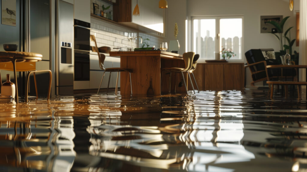
What does it mean to live in a high-water hazard area?
To live in a place where you know that it’s not just a possibility, rather a probability, that you won’t be able to physically access your home one day.
That the road leading to your home will be under water for hours a day, keeping you from returning or trapping you in.
That your flood insurance premiums will continue to rise.
Or that you have to continuously replace expensive assets on your house – like septic systems and heating and cooling units – due to saltwater intrusion or high ground water.
Not to mention the devaluation of your home, personal safety due to impacts of storm surge (or if there will be a time that government services are no longer able to provide service to the area due to safety risk to personnel), or the emotional distress associated with the impacts of all these issues.
There are communities that could experience just this in years to come.
Property owners must consider mitigation options, including structural elevation, shoreline management or property abandonment. Government officials will have to determine how to manage it all.
But how will each make those decisions?
In a recently published assessment funded by the Virginia Coastal Zone Management Program, the Middle Peninsula Planning District Commission suggests a new methodology for conducting community flood inundation assessments and strategic alternatives analyses, helping residents and governments alike reframe the conversation about what it means to plan a future living in a high-water hazard area.
Download the full assessment here.

About Us
Submit Now
Want to help?
Download more information here about how to bring this program to your coastal community.
DOWNLOAD